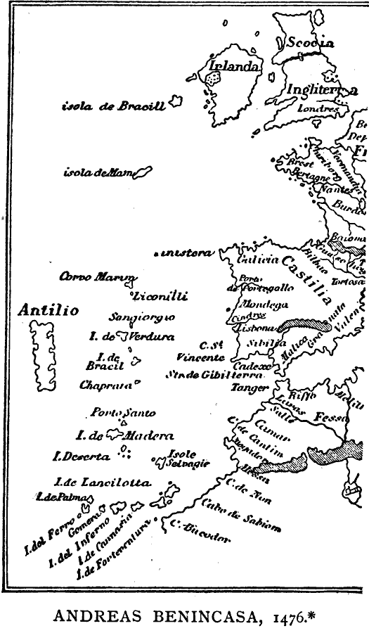
Description: A facsimile of a portion of the Andreas Benincasa marine chart from 1476 showing the Atlantic Coast of Europe from the Strait of Dover to the Strait of Gibraltar, and shows the British Isles, Canary Islands, Cape Verde Island, and a portion of the north African coastline. Place names are in Spanish. This is believed to be one of the charts studied by Columbus before his voyage to India.
Place Names: Miscellaneous Europe, United Kingdom, �Irelan
ISO Topic Categories: boundaries,
inlandWaters,
location,
oceans
Keywords: Benincasa Chart of the Atlantic, physical, kEarlyMapsFacsimile, physical features, boundaries,
inlandWaters,
location,
oceans, Unknown, 1476
Source: Justin Winsor, Narrative and Critical History of America Vol 1 (New York, NY: Houghton, Mifflin, and Company, 1889) 56
Map Credit: Courtesy the private collection of Roy Winkelman |
|