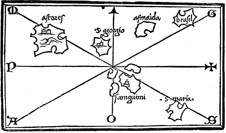
Description: A facsimile of the Benedetto Bordone Map (1547), possibly showing the Azores Islands in the Atlantic, with S. Georgio (Sao Jorge), Samguimi (Sao Miguel), and S. Maria (Santa Maria).
Place Names: Regional Atlantic Ocean,
ISO Topic Categories: physical, kEarlyMapsFacsimile, kWorldAtlantic
Keywords: The Bordone Map, physical, kEarlyMapsFacsimile, physical features, physical, kEarlyMapsFacsimile, kWorldAtlantic, Unknown, 1547
Source: Justin Winsor, Narrative and Critical History of America Vol 1 (New York, NY: Houghton, Mifflin, and Company, 1889) 57
Map Credit: Courtesy the private collection of Roy Winkelman |
|