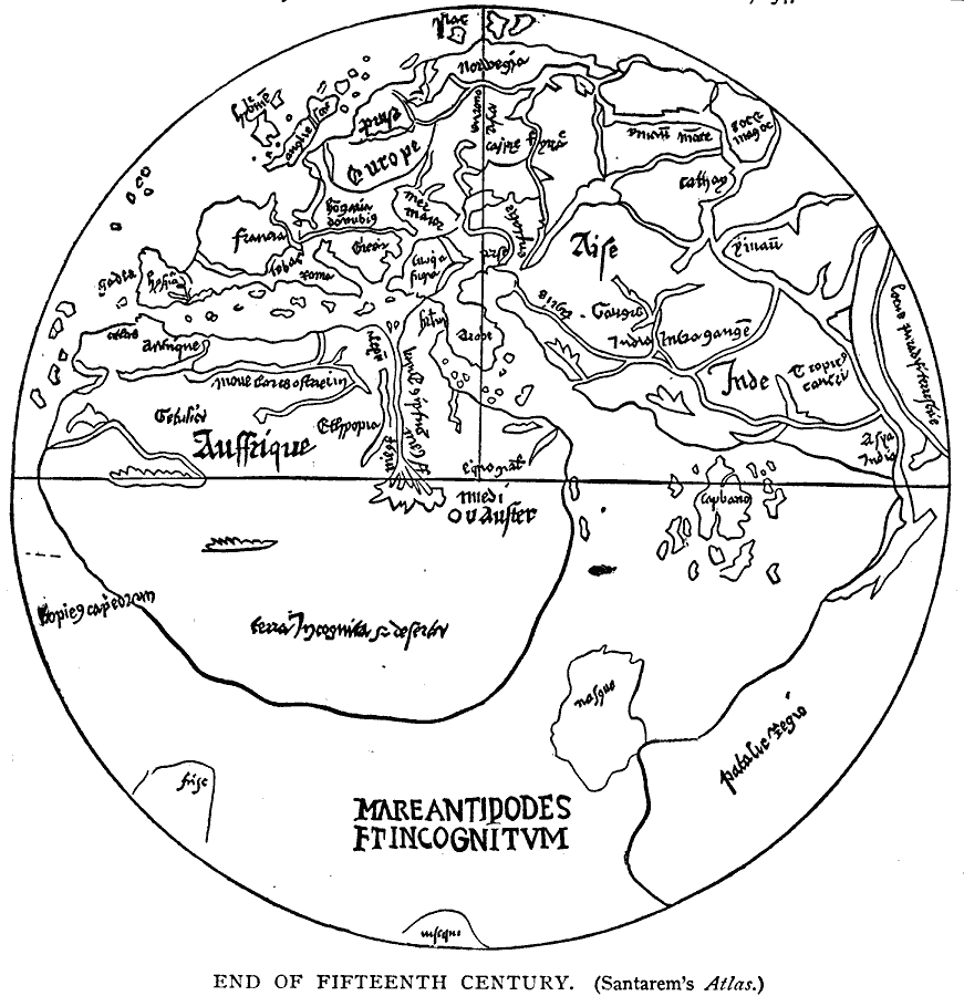
Description: A facsimile of a world map from Santarem's atlas showing Europe, Africa and Asia as it was known the end of the fifteenth century.
Place Names: Regional Miscellaneous, Africa, �Asia, �Europ
ISO Topic Categories: physical, kEarlyMapsFacsimile, kWorldMedSea, kWorldEurasia, kWorldAfroAsia
Keywords: The World from Santarem's Atlas, physical, kEarlyMapsFacsimile, physical, kEarlyMapsFacsimile, kWorldMedSea, kWorldEurasia, kWorldAfroAsia, Unknown, 1499
Source: Justin Winsor, Narrative and Critical History of America Vol 1 (New York, NY: Houghton, Mifflin, and Company, 1889)
Map Credit: Courtesy the private collection of Roy Winkelman |
|