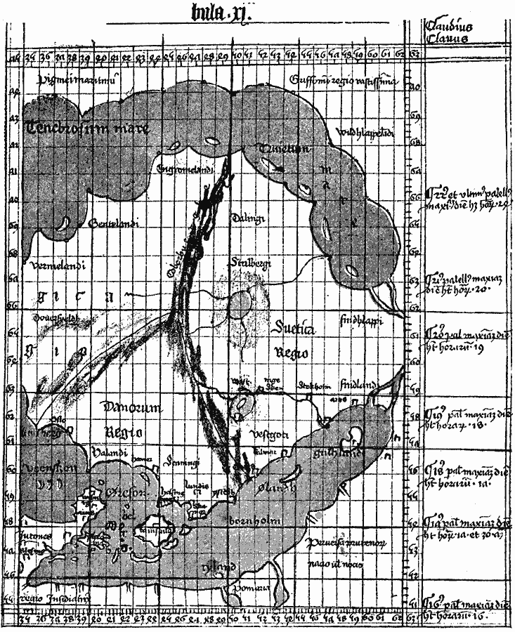
Description: A facsimile of the 1427 map of Northwestern Europe by Claudius Clavus showing Jutland (Denmark), Norway, Sweden, and the Baltic Sea.
Place Names: Miscellaneous Europe, Norway, Sweden, Denmark, Baltic Se
ISO Topic Categories: location,
oceans,
inlandWaters
Keywords: Claudius Clavus Map of Northwestern Europe, physical, kEarlyMapsFacsimile, physical features, location,
oceans,
inlandWaters, Unknown, 1427
Source: Justin Winsor, Narrative and Critical History of America Vol 1 (New York, NY: Houghton, Mifflin, and Company, 1889) 119
Map Credit: Courtesy the private collection of Roy Winkelman |
|