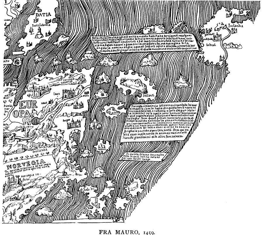
Description: A facsimile of a portion of the Fra Mauro map from 1459 showing Norvegia (Norway), Datia (Denmark), and Ixilandia (Iceland). The map is oriented to the south as was not uncommon in medieval and Muslim cartography, and pictorially shows cities and castles of the time.
Place Names: Scandinavia, Norvegia, Norway, Datia, Denmark, Iceland
ISO Topic Categories: location,
oceans,
inlandWaters
Keywords: Fra Mauro Map, physical, kEarlyMapsFacsimile, physical features, location,
oceans,
inlandWaters, Unknown, 1459
Source: Justin Winsor, Narrative and Critical History of America Vol 1 (New York, NY: Houghton, Mifflin, and Company, 1889) 120
Map Credit: Courtesy the private collection of Roy Winkelman |
|
