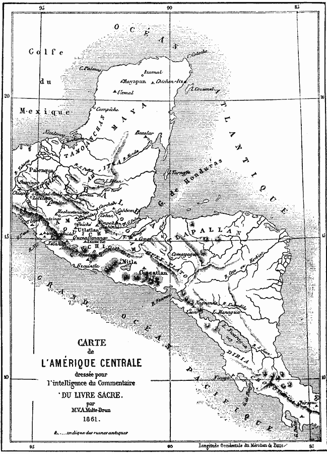
Description: A French map from 1861 of the Yucatan Peninsula and Central America showing the territories of native groups, the sites of ancient ruins, terrain, lakes, rivers, and coastal features of the region.
Place Names: A Regional Map of North America, Mexico, �Central Americ
ISO Topic Categories: location,
oceans,
inlandWaters
Keywords: Central America, physical, kCentralAmerica, physical features, location,
oceans,
inlandWaters, Unknown, 1861
Source: Justin Winsor, Narrative and Critical History of America Vol 1 (New York, NY: Houghton, Mifflin, and Company, 1889) 151
Map Credit: Courtesy the private collection of Roy Winkelman |
|