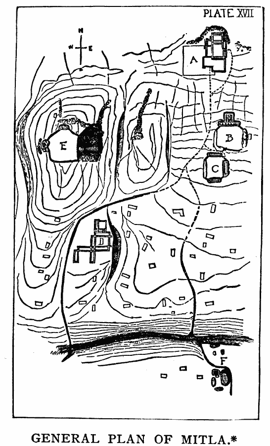
Description: A facsimile of a sketch map by Adolph Bandelier (1885) of the pre–Columbian archeological site at Mitla, Oaxaca, Mexico (sometimes Miquitlan, Mictlan). The map is keyed to show (A) the ruins on the highest ground, with a church and curacy built into the walls, (B, C, and E) are ruins outside the village, (D) is within the modern village, (F) is beyond the river.
Place Names: Mexico, Mitl
ISO Topic Categories: inlandWaters,
oceans,
location
Keywords: General Plan of Mitla, Oaxaca, physical, �political, kEarlyMapsFacsimile, physical features, local jurisdictions, inlandWaters,
oceans,
location, Unknown, 1644
Source: Justin Winsor, Narrative and Critical History of America Vol 1 (New York, NY: Houghton, Mifflin, and Company, 1889) 184
Map Credit: Courtesy the private collection of Roy Winkelman |
|
