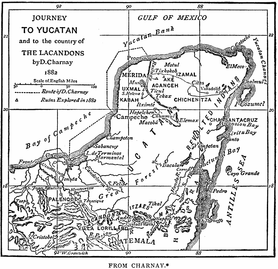
Description: A map of the Yucatan Peninsula showing the explorations of Dr. Désiré Charney in 1882. The map shows the Mayan sites visited, including Palenque, Uxmal, Kabah, Acanceh, Ake, Izamal, and Chichenitza, and the territories of the Lacandon Mayans in Chiapas and the Revolted Indians (Sublevados, or Indians who escaped from control of the Europeans and migrated to the eastern coast of the Yucatan).
Place Names: Mexico, Merid
ISO Topic Categories: location,
oceans,
inlandWaters
Keywords: The Yucatan, physical, physical features, location,
oceans,
inlandWaters, Unknown, 1882
Source: Justin Winsor, Narrative and Critical History of America Vol 1 (New York, NY: Houghton, Mifflin, and Company, 1889) 188
Map Credit: Courtesy the private collection of Roy Winkelman |
|
