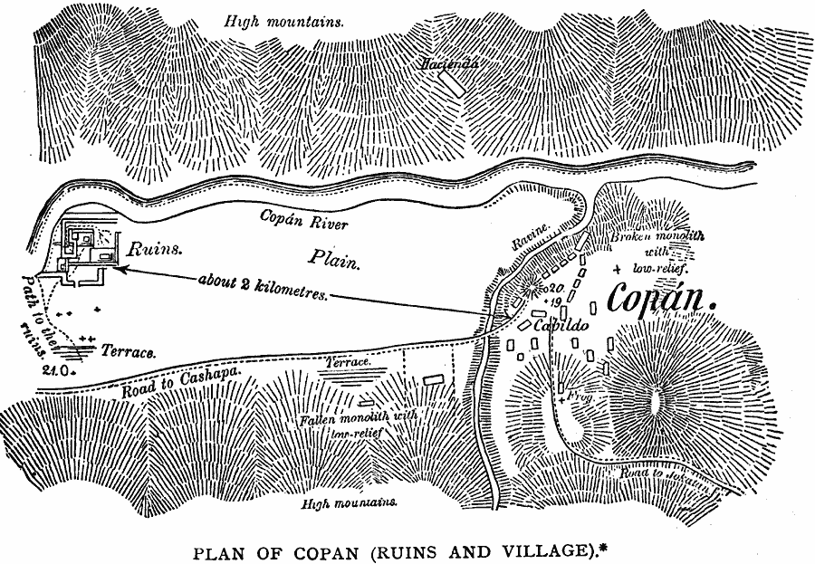
Description: A map from the works of Meye and Schmidt (1883) of the ancient Maya city of Copán in western Honduras. The map shows the modern village of Copán and the site of the ruins approximately two kilometers to the east, the road to Cashapa with the cut–trail to the ruins, and the Copán River.
Place Names: Honduras, Copa
ISO Topic Categories: transportation,
location
Keywords: Plan of Copan, physical, �political, �transportation, physical features, local jurisdictions, roads, transportation,
location, Unknown, 1883
Source: Justin Winsor, Narrative and Critical History of America Vol 1 (New York, NY: Houghton, Mifflin, and Company, 1889) 194
Map Credit: Courtesy the private collection of Roy Winkelman |
|