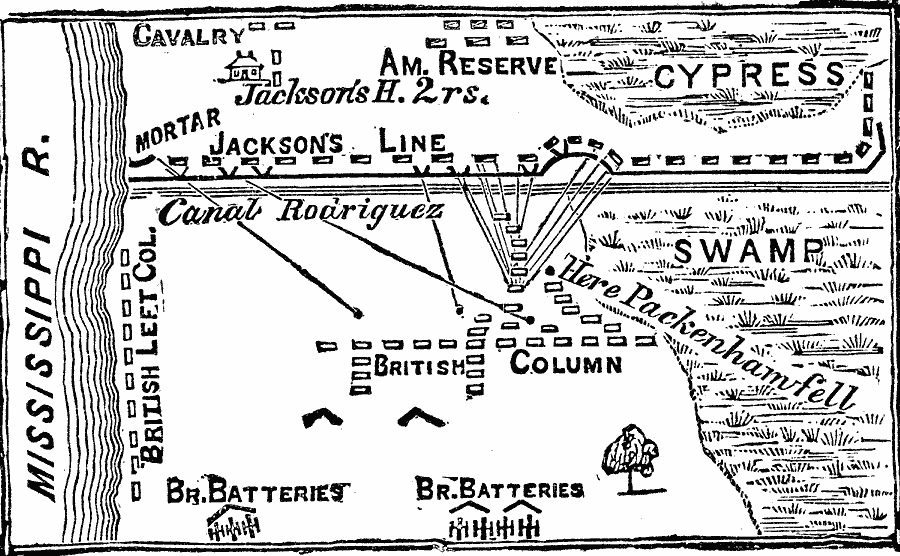
Description: A plan of the Battle of New Orleans (January 8, 1815), the final battle of the War of 1812. The map shows the headquarters of Andrew Jackson, the positions of the Americans and the British, and marks the site where General Edward Packenham (British commander) fell.
Place Names: Louisiana, New Orlean
ISO Topic Categories: biota,
inlandWaters,
location,
intelligenceMilitary
Keywords: Battle of New Orleans, physical, �historical, �war of 1812, �political, physical features, local jurisdictions, other military, biota,
inlandWaters,
location,
intelligenceMilitary, Unknown, 1815
Source: Frank Gilbert, The World: Historical and Actual (Chicago, IL: National Library Association, 1892) 520
Map Credit: Courtesy the private collection of Roy Winkelman |
|
