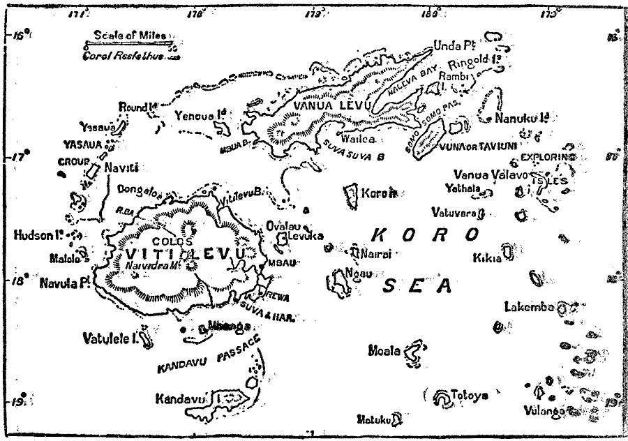
Description: A map of the Fiji Island group from 1903. The map shows the major island of Viti Levu and capital city of Suva, the neighboring island of Vanua Levu, and the smaller islands of the Koro Sea and Yasaua group.
Place Names: Regional Pacific Ocean, Suv
ISO Topic Categories: physical, kWorldPacific
Keywords: Fiji Islands, physical, physical features, physical, kWorldPacific, Unknown, 1913
Source: Day Otis Kellogg, The Encyclopedia Britannica Vol 9 (New York, NY: The Werner Company, 1903) 155
Map Credit: Courtesy the private collection of Roy Winkelman |
|