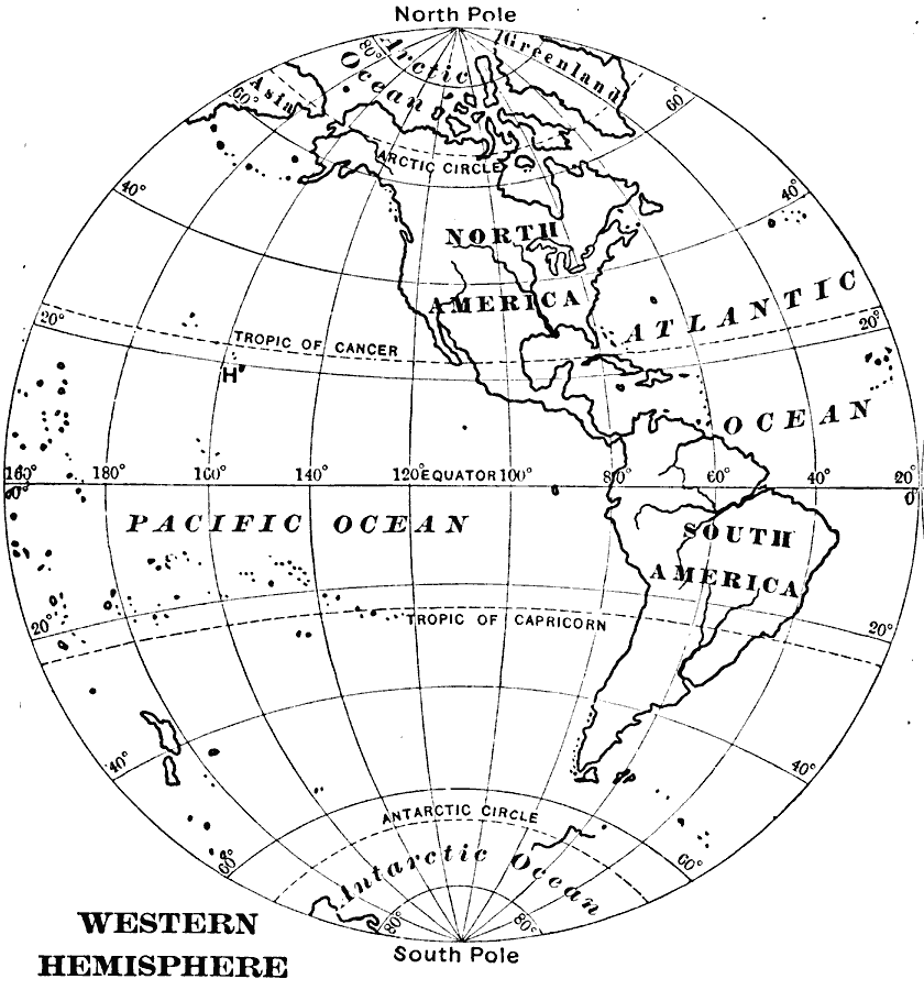
Description: A map of the Western Hemisphere from 1909 showing the American continent subdivided into North and South America, major rivers, the Atlantic, Arctic, and Pacific oceans, longitudes from 20° west to 160° east, and the great circles of the equator, Tropic of Cancer, Tropic of Capricorn, and the Arctic and Antarctic circles.
Place Names: Western Hemisphere, North America, �South Americ
ISO Topic Categories: inlandWaters,
location,
oceans
Keywords: Western Hemisphere, physical, physical features, inlandWaters,
location,
oceans, Unknown, 1909
Source: Charles F. King, Elementary Geography (New York, NY: Charles Scribner's Sons, 1909) 82
Map Credit: Courtesy the private collection of Roy Winkelman |
|