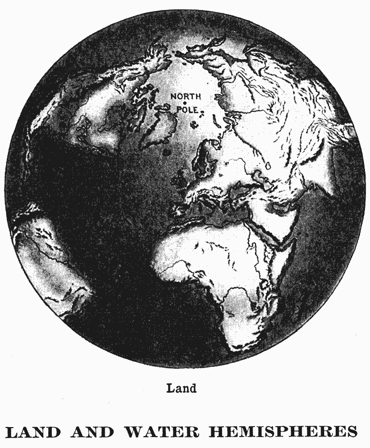
Description: A relief map from 1909 of the northern hemisphere on a globe perspective. The map shows mountain systems, terrain features, and rivers. Due to the disproportionate percentage of landmass in the northern hemisphere, it is sometimes referred to as the "land hemisphere."
Place Names: Northern Hemisphere, North America, �South America, �Europe, �Asia, �Afric
ISO Topic Categories: oceans,
location,
inlandWaters
Keywords: Relief Map of the Northern Hemisphere, physical, physical features, oceans,
location,
inlandWaters, Unknown, 1909
Source: Charles F. King, Elementary Geography (New York, NY: Charles Scribner's Sons, 1909) 83
Map Credit: Courtesy the private collection of Roy Winkelman |
|