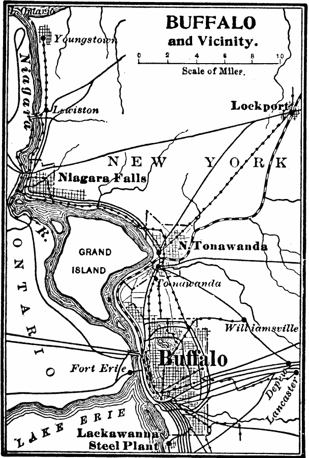
Description: A map from 1909 of Buffalo New York and vicinity, showing Lake Erie, Niagara River and falls, railroads, and the Erie Canal.
Place Names: New York, Buffalo, �Niagara Fall
ISO Topic Categories: location,
inlandWaters,
transportation
Keywords: Buffalo and Vicinity, physical, �political, �transportation, physical features, local jurisdictions, roads,
railroads, location,
inlandWaters,
transportation, Unknown, 1909
Source: Charles F. King, Elementary Geography (New York, NY: Charles Scribner's Sons, 1909) 126
Map Credit: Courtesy the private collection of Roy Winkelman |
|