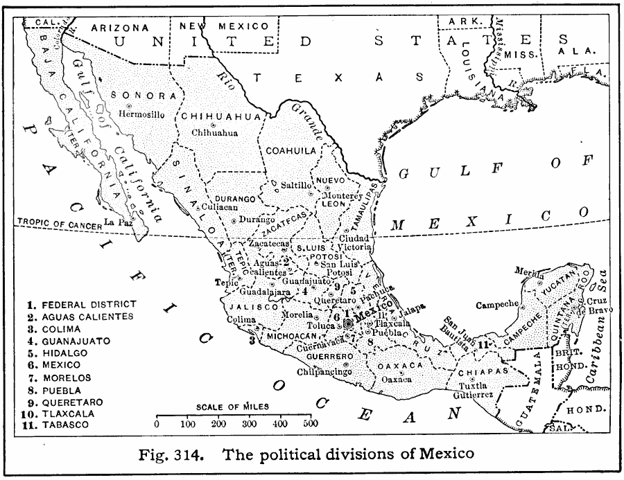
Description: A map from 1916 of Mexico showing the political divisions of states and territories (Quinana Roo on the Yucatan Peninsula, Tepic on the Gulf of California, and Baja California) at the time, including the state capitals and the Federal District of Mexico (City of Mexico).
Place Names: Mexico, Mexic
ISO Topic Categories: boundaries,
oceans,
inlandWaters,
location
Keywords: Political Divisions of Mexico, political, country borders,
major political subdivisions, boundaries,
oceans,
inlandWaters,
location, Unknown, 1916
Source: Albert Perry Brigham & Charles T. McFarlane, Essentials of Geography (New York, NY: American Book Company, 1916) 213
Map Credit: Courtesy the private collection of Roy Winkelman |
|