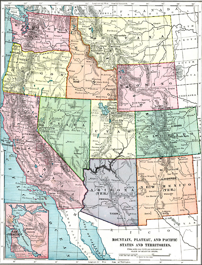
Description: Map of Mountain, Plateau, and Pacific States and Territories in color. Cities with populations of over 50,000 are underscored.
Place Names: Western Region, California,
Colorado,
Idaho,
Montana,
Nevada,
New Mexico,
Washington,
Wyoming,
Pacific States,
Rocky Mountain Region,
Washington Stat
ISO Topic Categories: oceans,
inlandWaters,
location,
boundaries,
transportation
Keywords: Mountain, Plateau, and Pacific States and Territories, borders,
physical,
population,
topographical,
statistical, physical features,
topographical, country borders, population, oceans,
inlandWaters,
location,
boundaries,
transportation, Unknown, 1899
Source: Horace S. Tarbell, LL.D. , The Complete Geography (New York, NY: American Book Company, 1899) 55
Map Credit: The Private Collection of Roy Winkelman |
|