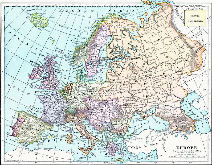
Description: A map showing country boundaries of Europe as they existed in 1899, including major cities, rivers, and railroad routes. This map also includes an outline map of Colorado for area size comparison.
Place Names: A Complete Map of Europe, France, �Germany, �Greece, �Italy, �Poland, �Portugal, �Romania, �Spain, �Sweden, �United Kingdo
ISO Topic Categories: oceans,
inlandWaters,
location
Keywords: Europe, borders, �topographical, �physical, kComparativeArea, physical features,
topographical, country borders, oceans,
inlandWaters,
location, Unknown, 1899
Source: Horace S. Tarbell, LL.D. , The Complete Geography (New York, NY: American Book Company, 1899) 82
Map Credit: Courtesy the private collection of Roy Winkelman |
|