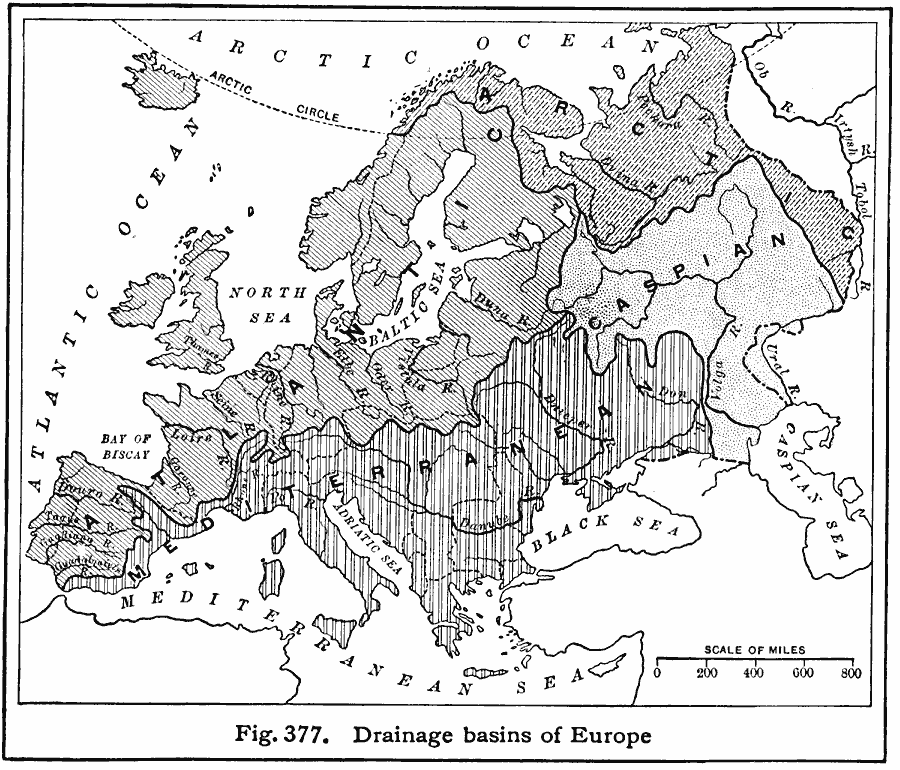
Description: A map showing the Atlantic, Mediterranean, Arctic, and Caspian drainage basins or watersheds of Europe. The map includes major river systems and the bodies of water they flow into.
Place Names: A Complete Map of Europe,
ISO Topic Categories: boundaries,
location,
inlandWaters,
oceans
Keywords: Drainage Basins of Europe, physical, �political, �hydrological, kHydrologic, physical features, country borders, drainage basins, boundaries,
location,
inlandWaters,
oceans, Unknown, 1916
Source: Albert Perry Brigham & Charles T. McFarlane, Essentials of Geography (New York, NY: American Book Company, 1916) 266
Map Credit: Courtesy the private collection of Roy Winkelman |
|