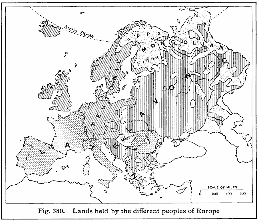
Description: A 1916 map showing the historic lands held by the various groups of Europe, including the Latin nations (Italy, France, Spain, and Portugal), Teutonic nations of Germany, Netherlands, Scandinavia, and which include the Celts of the British Isles, the Slavic and other peoples, Lapps, Finns, Magyars, Basque, Greek, Albanians, and Mongolians.
Place Names: A Complete Map of Europe,
ISO Topic Categories: boundaries,
location,
oceans,
inlandWaters,
society
Keywords: Ethnic Groups of Europe, political, �statistical, �physical, kEthnic, kPopulation, physical features, country borders, ethnological, boundaries,
location,
oceans,
inlandWaters,
society, Unknown, 1916
Source: Albert Perry Brigham & Charles T. McFarlane, Essentials of Geography (New York, NY: American Book Company, 1916) 268
Map Credit: Courtesy the private collection of Roy Winkelman |
|
