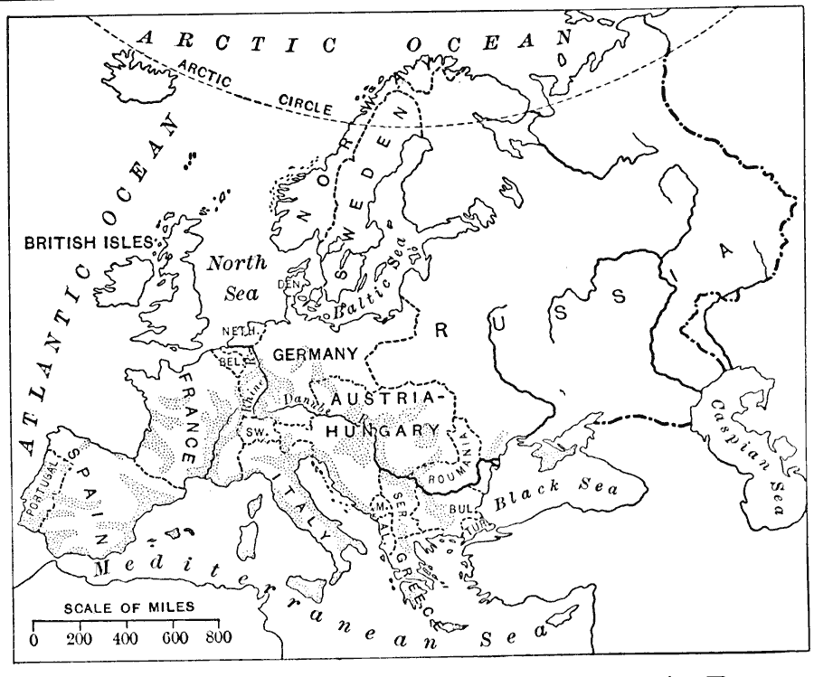
Description: A 1916 map of grape and wine production in Europe.
Place Names: A Complete Map of Europe, France, �Germany, �Greece, �Italy, �Poland, �Portugal, �Romania, �Spain, �Sweden, �United Kingdo
ISO Topic Categories: oceans,
location,
inlandWaters,
boundaries,
farming
Keywords: Grape and Wine Production, physical, �political, �statistical, kAgriculture, physical features, country borders, agriculture, oceans,
location,
inlandWaters,
boundaries,
farming, Unknown, 1916
Source: Albert Perry Brigham & Charles T. McFarlane, Essentials of Geography (New York, NY: American Book Company, 1916) 272
Map Credit: Courtesy the private collection of Roy Winkelman |
|