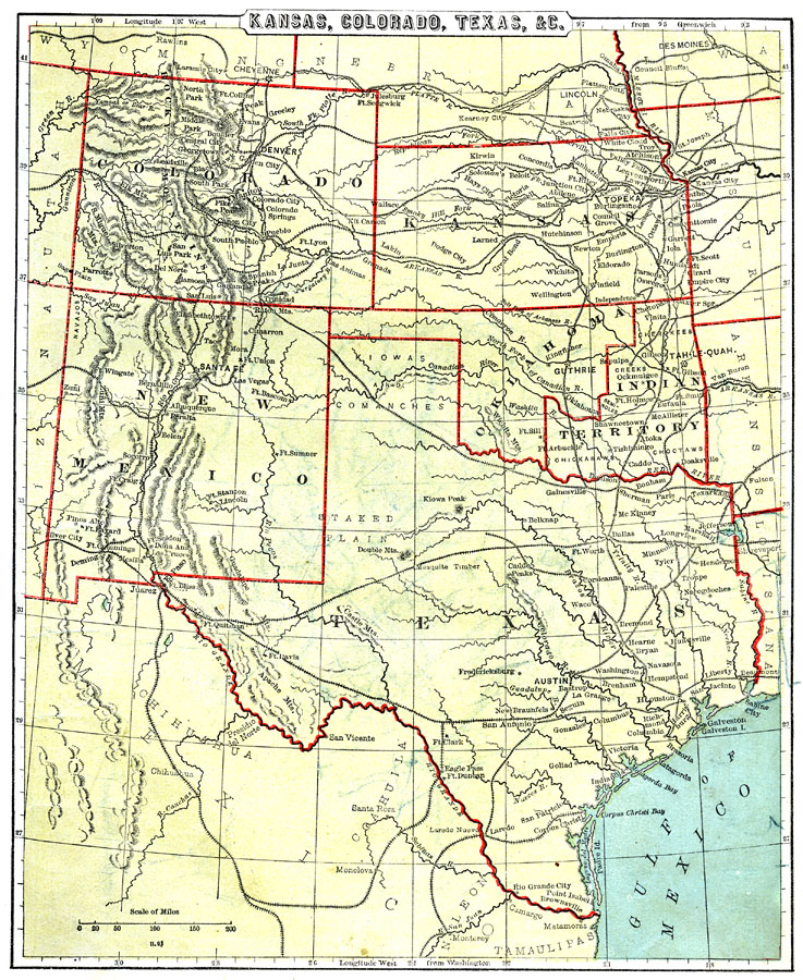
Description: Kansas, Colorado, Texas, New Mexico, Oklahoma, and Indian Territory.
Place Names: Southwestern States, North Park, �Manitou, �Denver, �Lincoln, �Des Moines, �Kansas City, �Tah-Le-Quah, �Herokees, �Guthrie, �Santa Fe, �El Paso, �Austin, �Houston, �Galveston, �San Antonio, �Cheyenne, �Laramie City, �Rocky Mountain Region, �Texas, �Colorado, �Kansas, �New
ISO Topic Categories: boundaries,
inlandWaters,
location,
oceans,
transportation
Keywords: The Southern Central States, physical, �political, �transportation, physical features, major political subdivisions,
country borders, railroads, boundaries,
inlandWaters,
location,
oceans,
transportation, Unknown, 1888
Source: , Cornell's Intermediate Geography (New York, NY: American Book Company, 1888) 33
Map Credit: Courtesy the private collection of Roy Winkelman |
|