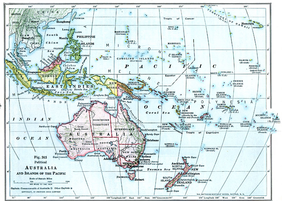
Description: A map from 1916 of Australia and islands of the Pacific from Sumatra and Borneo in the northeast to Tahiti in the east. The map shows the states of Australia, the East Indies, Micronesia, Polynesia, New Zealand, major cities, rivers, and terrain features. The map also shows the foreign possessions of Britain, France, Germany, Netherlands, Australia (Papua New Guinea), and the United States.
Place Names: Regional Pacific Ocean, Federated States of Micronesia, �Australia, �French Polynesia, �Hawaiian Islands, �Indonesia, �Kiribati, �New Zealand, �Marshal Islands, �Papua New Guinea, �Solomon Island
ISO Topic Categories: physical, �political, kWorldPacific
Keywords: Australia and Islands of the Pacific, physical, �political, physical features, country borders,
major political subdivisions, physical, �political, kWorldPacific, Unknown, 1916
Source: Albert Perry Brigham & Charles T. McFarlane, Essentials of Geography (New York, NY: American Book Company, 1916) 384
Map Credit: Courtesy the private collection of Roy Winkelman |
|