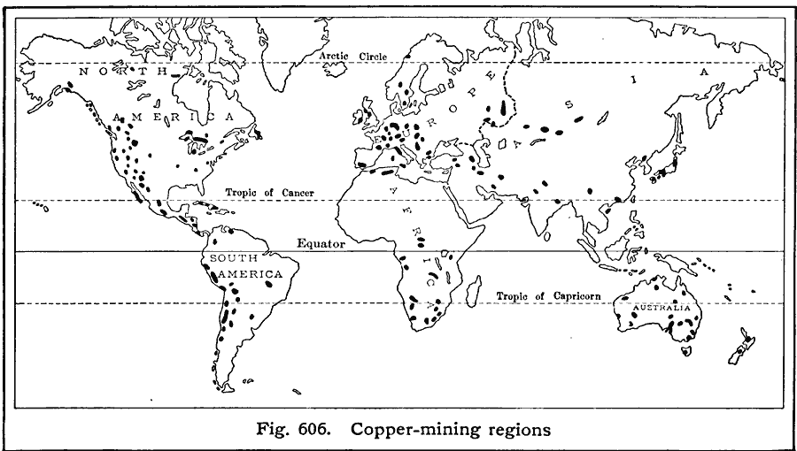
Description: A world map from 1916 showing the principal copper–producing regions of the world at the time. "WorldŐs annual production, 3,100,000,000 pounds. Leading copper–producing countries, with percentages of world production: United States (62%), Japan (6%), Chile (5%), Canada (4%)."
Place Names: A Complete Map of Globes and Multi-continent, Africa, �Antarctica, �Asia, �Australia, �Europe, �North America, �South Americ
ISO Topic Categories: location,
oceans,
geoscientificInformation
Keywords: Copper Mining, statistical, kResources, industry, location,
oceans,
geoscientificInformation, Unknown, 1916
Source: Albert Perry Brigham & Charles T. McFarlane, Essentials of Geography (New York, NY: American Book Company, 1916) 409
Map Credit: Courtesy the private collection of Roy Winkelman |
|