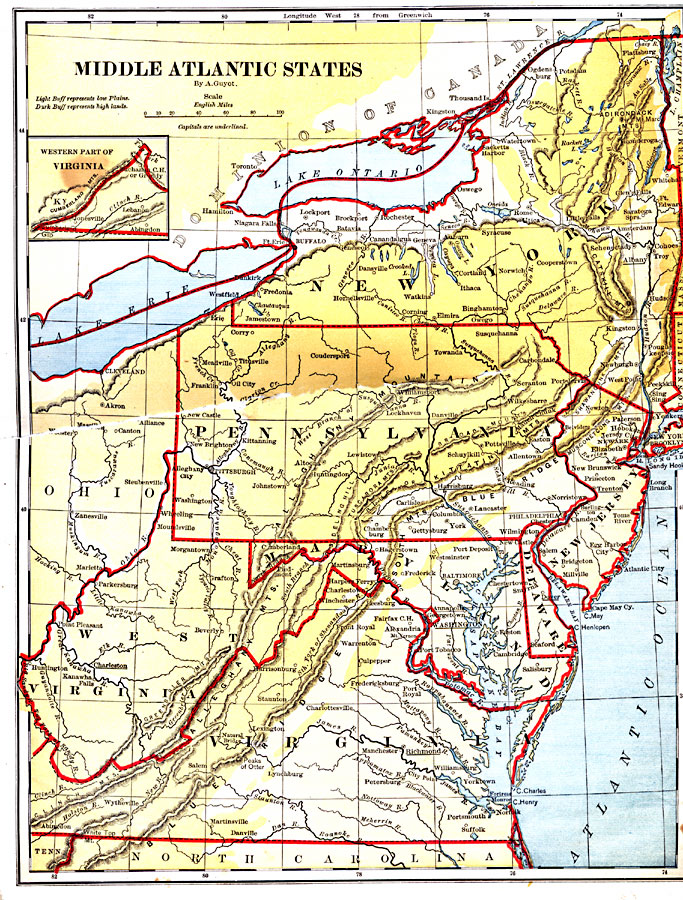
Description: Middle Atlantic States.
Place Names: Middle Atlantic States, Rome, �Syracuse, �Schenectady, �Albany, �Troy, �Cohoes, �Newburgh, �Hoboken, �Elizabeth, �Trenton, �Wilmington, �Philadelphia, �Washington, �Annapolis, �Georgetown, �Yorktown, �Cambridge, �Charleston, �Pittsburgh, �Alleghany City, �Dunkirk, �Niagara Fa
ISO Topic Categories: boundaries,
inlandWaters,
location,
oceans
Keywords: Middle Atlantic States, physical, �political, physical features, country borders,
major political subdivisions, boundaries,
inlandWaters,
location,
oceans, Unknown, 1882
Source: , Guyot's New Intermediate Geography (New York, NY: Ivison, Blakeman & Company, 1882) 28
Map Credit: Courtesy the private collection of Roy Winkelman |
|