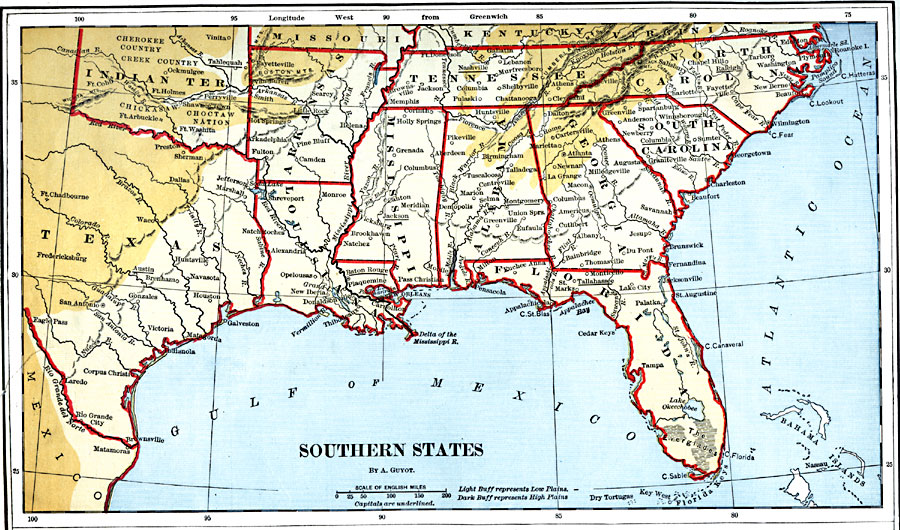
Description: The Southern states.
Place Names: Southern States, San Antonio, �Austin, �Huntsville, �Galveston, �Alexandria, �Shreveport, �New Orleans, �Baton Rouge, �Vicksburg, �Jackson, �Columbia, �Pulaski, �Chattanogga, �Shelbyville, �Athens, �Rome, �Cartersville, �Macon, �Tallahassee, �Palatka, �Tampa, �Jacksonv
ISO Topic Categories: boundaries,
inlandWaters,
location,
oceans
Keywords: Southern States, physical, �political, physical features, major political subdivisions,
country borders, boundaries,
inlandWaters,
location,
oceans, Unknown, 1882
Source: , Guyot's New Intermediate Geography (New York, NY: Ivison, Blakeman & Company, 1882) 34
Map Credit: Courtesy the private collection of Roy Winkelman |
|
