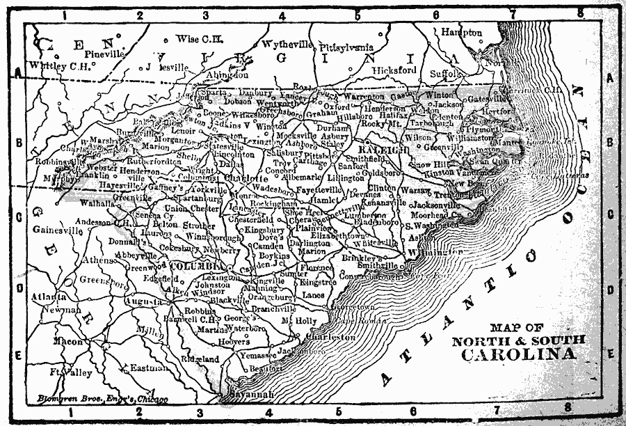
Description: North and South Carolina in 1902.
Place Names: South Atlantic States, Charlotte, �Columbia, �North Carolina, �Raleigh, �South Carolina, �South Carolin
ISO Topic Categories: boundaries,
inlandWaters,
location,
oceans
Keywords: North and South Carolina, physical, �political, �borders, �boundaries, physical features, country borders, boundaries,
inlandWaters,
location,
oceans, Unknown, 1902
Source: George W. Conklin, The New Conklin's Handy Manual of Useful Information and Atlas of the World (Chicago, IL: The Christian Herald, 1902) 353
Map Credit: Courtesy the private collection of Roy Winkelman |
|