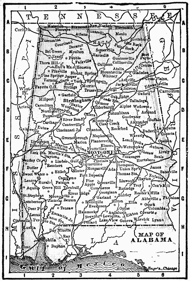
Description: A map of Alabama from 1902 showing the State capital of Montgomery, major cities and towns, railroads, and rivers.
Place Names: Alabama, Alabama, �Birmingham, �Mobile, �Montgomer
ISO Topic Categories: boundaries,
inlandWaters,
location,
oceans
Keywords: Alabama, physical, �political, �borders, �boundaries, physical features, country borders, boundaries,
inlandWaters,
location,
oceans, Unknown, 1902
Source: George W. Conklin, The New Conklin's Handy Manual of Useful Information and Atlas of the World (Chicago, IL: The Christian Herald, 1902) 361
Map Credit: Courtesy the private collection of Roy Winkelman |
|