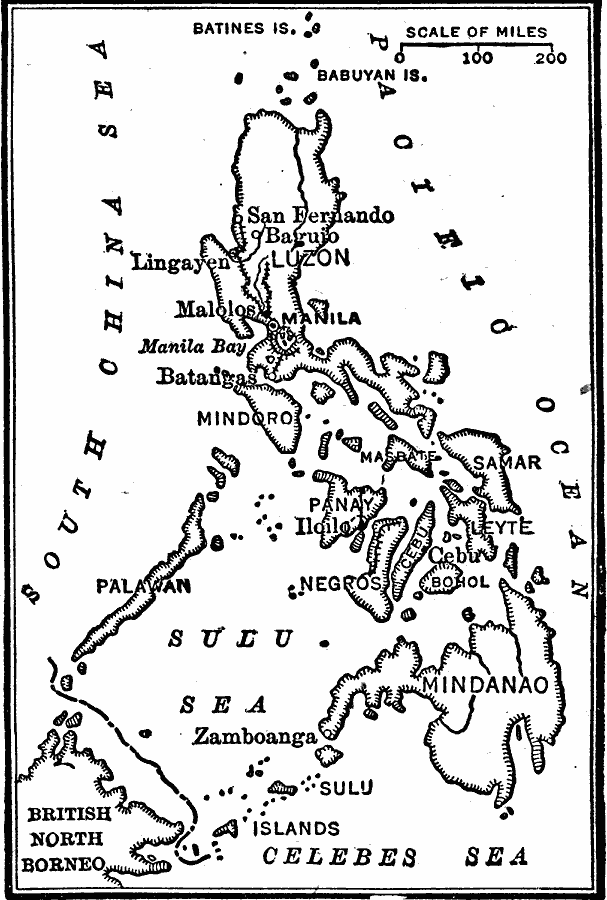
Description: A sketch map from 1899 of the Philippine Islands, showing the position of the island group between the South China Sea, Pacific Ocean, Sulu Sea, and Celebes Sea. The map shows the city of Zamboanga on Mindanao, and the railways and cities of Manila, San Fernando, Baguio, Lingayen, Malolos, and Batangas on Luzon.
Place Names: Philippines, Mindoro, �Negros, �Mindanao, �San Fernando, �Manila, �Zamboanga, �Bagui
ISO Topic Categories: location,
oceans,
inlandWaters
Keywords: Philippine Islands, physical, physical features, location,
oceans,
inlandWaters, Unknown, 1899
Source: Robert Hall, Harriet Smither, and Clarence Ousley, A History of the United States (Dallas, TX: The Southern Publishing Company, 1920) 437
Map Credit: Courtesy the private collection of Roy Winkelman |
|
