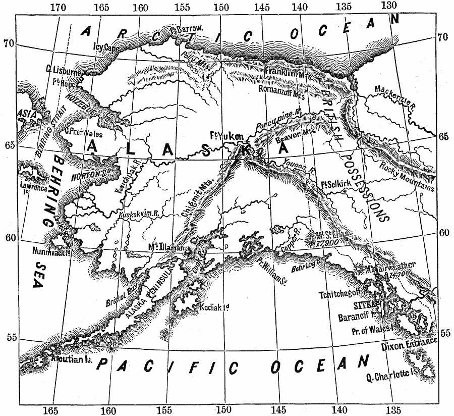
Description: A map of Alaska from 1890 showing the State capital at Sitka, cities, towns, ports, major rivers and mountain systems, coastal features, and islands.
Place Names: Alaska, Queen Charlotte Island, �Baranoff Island, �Kodiak Island, �Behring Strai
ISO Topic Categories: inlandWaters,
location,
oceans
Keywords: Alaska, physical, physical features, inlandWaters,
location,
oceans, Unknown, 1890
Source: John Brocklesby, Elements of Physical Geography (Philadelphia, PA : E. H. Butler and Co., 1890) 150
Map Credit: Courtesy the private collection of Roy Winkelman |
|