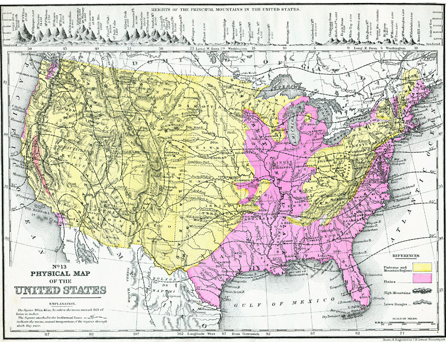
Description: A map from 1890 of the United States showing physical features, and annual mean temperatures and rainfall. The map shows high mountains and lower ranges, watershed division boundaries, rivers, lakes, coastal features, and is color–coded to show areas of mountains and plateaus, and areas of plains. Isotherms of mean annual temperature are shown with temperatures given in degrees Fahrenheit, and figures show mean annual rainfall in inches. Longitude from Washington is given at the top of the map, and from Greenwich at the bottom. A chart at the top of the map shows the comparative heights of the principal mountains in the United States (contiguous 48), with elevations given in feet above sea level.
Place Names: A Complete Map of the United States, Boston, �Concord, �Augusta, �Richmond, �Cairo, �Galveston, �San Diego, �San Francisco, �Salem, �Olympia, �St. Paul, �Milwaukee, �Detroit, �Erie, �Cleveland, �Buffalo, �Chicago, �Montere
ISO Topic Categories: inlandWaters,
location,
oceans
Keywords: The United States, physical, �political, physical features, inlandWaters,
location,
oceans, Unknown, 1890
Source: John Brocklesby, Elements of Physical Geography (Philadelphia, PA : E. H. Butler and Co., 1890) 161
Map Credit: Courtesy the private collection of Roy Winkelman |
|
