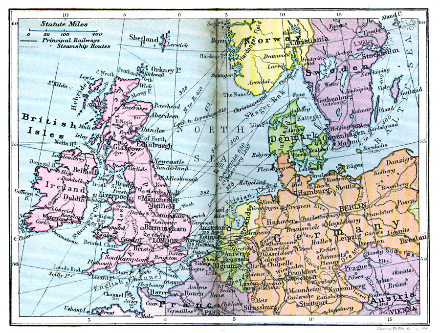
Description: A map from 1920 of the British Isles in relation to the Continent. This map shows principal railways and steam ship routes with distances between ports in 1920.
Place Names: Western and Central Europe, British Isles, �France, �Netherlands, �Belgium, �Germany, �Austria, �Denmark, �Sweden, �Norway, �Ireland, �Scotland, �England, �Wale
ISO Topic Categories: boundaries,
inlandWaters,
location,
oceans,
transportation
Keywords: British Isles in Relation to Europe, physical, �political, �transportation, kTransportation, physical features, country borders, railroads,
water routes, boundaries,
inlandWaters,
location,
oceans,
transportation, Unknown, 1920
Source: , Asprey's Atlas of the World (London, England: Asprey and Co., Ltd., 1920) 18
Map Credit: Courtesy the private collection of Roy Winkelman |
|