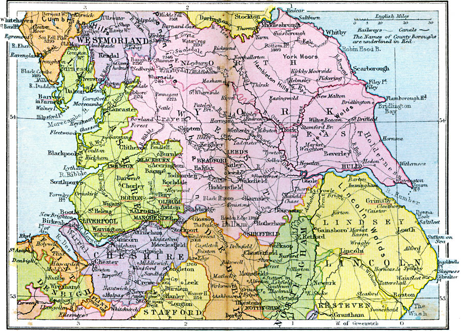
Description: A regional map of England and Wales from 1920, showing major cities, towns, and ports, railways and canals, and counties with the county boroughs underlined in red. The map shows major rivers and prominent peaks with elevations in feet. This map shows the southern portions of Cumberland and Westmoreland, the counties of Lancashire, York, and Cheshire, Denbigh and Flint in Wales, and the northern portions of Stafford, Derby, Nottingham, and Lincoln.
Place Names: United Kingdom, York, �Westmorland, �Cumberland, �Furness, �Lancashire, �Chesire, �Flint, �Denbigh, �Stafford, �Derby, �Nottingham, �Lincol
ISO Topic Categories: boundaries,
inlandWaters,
location,
oceans,
transportation
Keywords: England Plate I, physical, �political, �transportation, physical features, major political subdivisions, railroads,
water routes, boundaries,
inlandWaters,
location,
oceans,
transportation, Unknown, 1920
Source: , Asprey's Atlas of the World (London, England: Asprey and Co., Ltd., 1920) 24
Map Credit: Courtesy the private collection of Roy Winkelman |
|