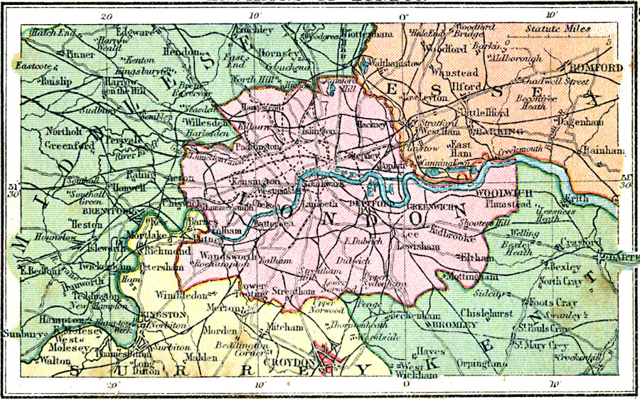
Description: A map of London and its environs from 1920. This map shows major roads, railways, canals, and districts of Greater London, and neighboring cities and towns from Middlesex, Essex, Surry, and Kent.
Place Names: United Kingdom, Essex, �Middlesex, �London, �Surrey, �Ken
ISO Topic Categories: boundaries,
location,
inlandWaters,
transportation
Keywords: Environs of London, physical, �political, �transportation, physical features, major political subdivisions, railroads,
roads, boundaries,
location,
inlandWaters,
transportation, Unknown, 1920
Source: , Asprey's Atlas of the World (London, England: Asprey and Co., Ltd., 1920) 27
Map Credit: Courtesy the private collection of Roy Winkelman |
|