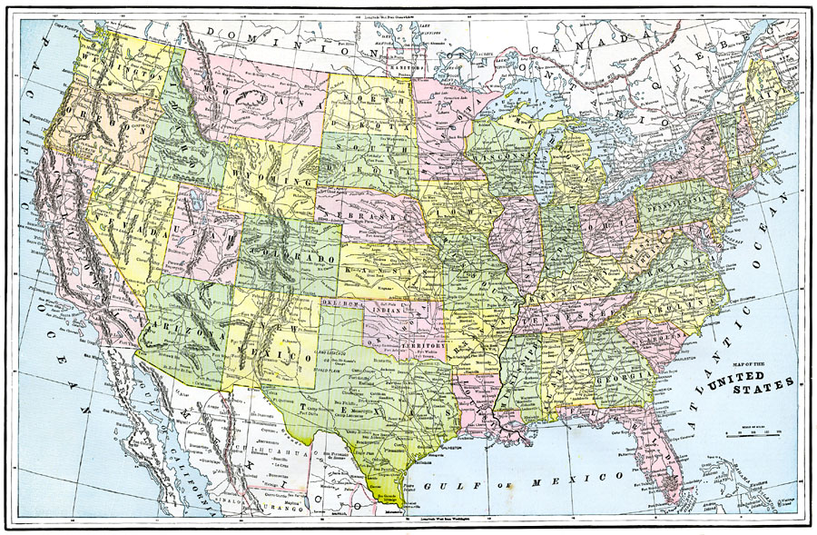
Description: A map from 1892 of the United States showing state boundaries and state capitals, major cities and towns, railroads, mountain systems, lakes, rivers, and coastal features.
Place Names: A Complete Map of the United States, Canada, �Mexico, �Dominion of Canada,
ISO Topic Categories: boundaries,
inlandWaters,
location,
oceans,
transportation
Keywords: United States, physical, �transportation, physical features, railroads,
roads, boundaries,
inlandWaters,
location,
oceans,
transportation, Unknown, 1892
Source: , The American Republic (Chicago, IL: John W. Iliff and Co., 1892) 36-37
Map Credit: Courtesy the private collection of Roy Winkelman |
|