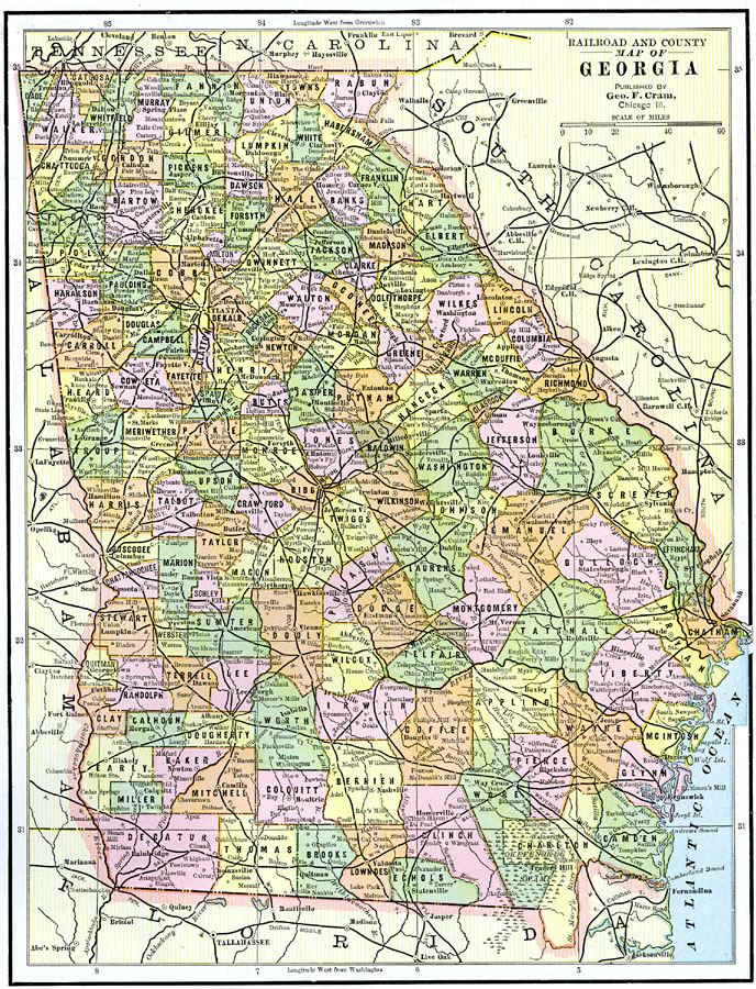
Description: A map from 1892 of Georgia showing the State capital of Atlanta, counties and county seats, major cities and towns, railroads, lakes, and rivers.
Place Names: Georgia, Macon, �Columbus, �Clayton, �Atlanta, �Augusta, �Savannah, �Milledgeville, �Rom
ISO Topic Categories: boundaries,
inlandWaters,
location,
oceans,
transportation
Keywords: Georgia, physical, �political, �transportation, physical features, county borders, railroads, boundaries,
inlandWaters,
location,
oceans,
transportation, Unknown, 1892
Source: , The American Republic (Chicago, IL: John W. Iliff and Co., 1892) 48
Map Credit: Courtesy the private collection of Roy Winkelman |
|