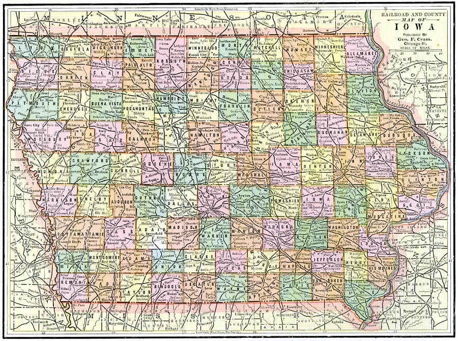
Description: A map from 1892 of Iowa showing the State capital of Des Moines, counties and county seats, major cities and towns, railroads, and rivers.
Place Names: Iowa, Sioux City, �Des Moines, �Mason, �Waterloo, �Iowa City, �Hamburg, �Creston, �Clinton, �Dubuqu
ISO Topic Categories: boundaries,
inlandWaters,
location,
transportation
Keywords: Iowa, physical, �political, �transportation, physical features, county borders, railroads, boundaries,
inlandWaters,
location,
transportation, Unknown, 1892
Source: , The American Republic (Chicago, IL: John W. Iliff and Co., 1892) 56
Map Credit: Courtesy the private collection of Roy Winkelman |
|