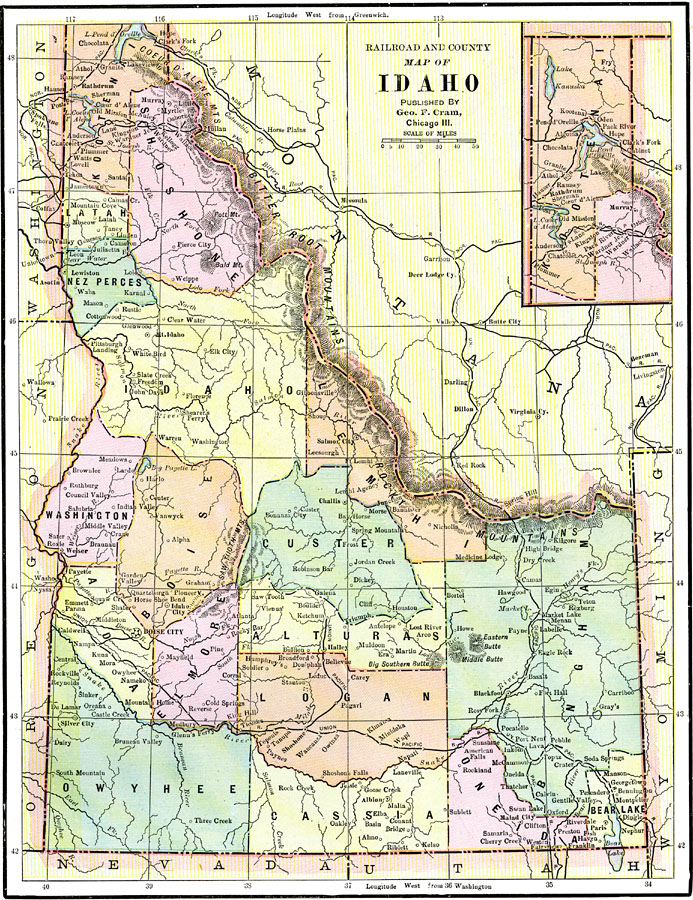
Description: Idaho, showing railways and counties.
Place Names: Idaho, Boise City, �Silver City, �Ft. Hall, �Lewisto
ISO Topic Categories: boundaries,
inlandWaters,
location,
transportation
Keywords: Idaho, physical, �political, �transportation, physical features, county borders, railroads, boundaries,
inlandWaters,
location,
transportation, Unknown, 1892
Source: , The American Republic (Chicago, IL: John W. Iliff and Co., 1892) 76
Map Credit: Courtesy the private collection of Roy Winkelman |
|