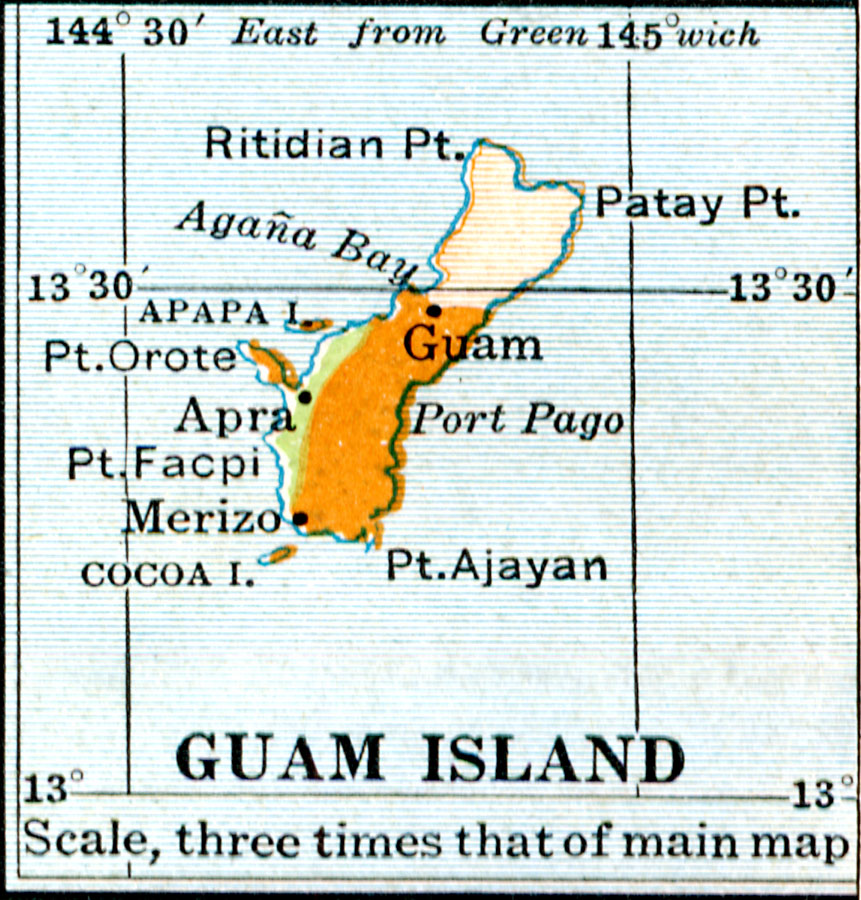
Description: A map of Guam showing the highlands to the south and lowlands in the north of the island. The map shows Agaña Bay, Apra, and Merizo, coastal features, and the smaller islands of Apapa and Cocoa. Guam is an unincorporated possession of the United States since the Spanish–American War (1898).
Place Names: Guam, Merizo, �Apra,
ISO Topic Categories: location
Keywords: Guam, physical, physical features, location, Unknown, 1920
Source: Wallace W. Atwood, New Geography: Book Two (Boston, MA: Ginn and Company, 1920) 93
Map Credit: Courtesy the private collection of Roy Winkelman |
|