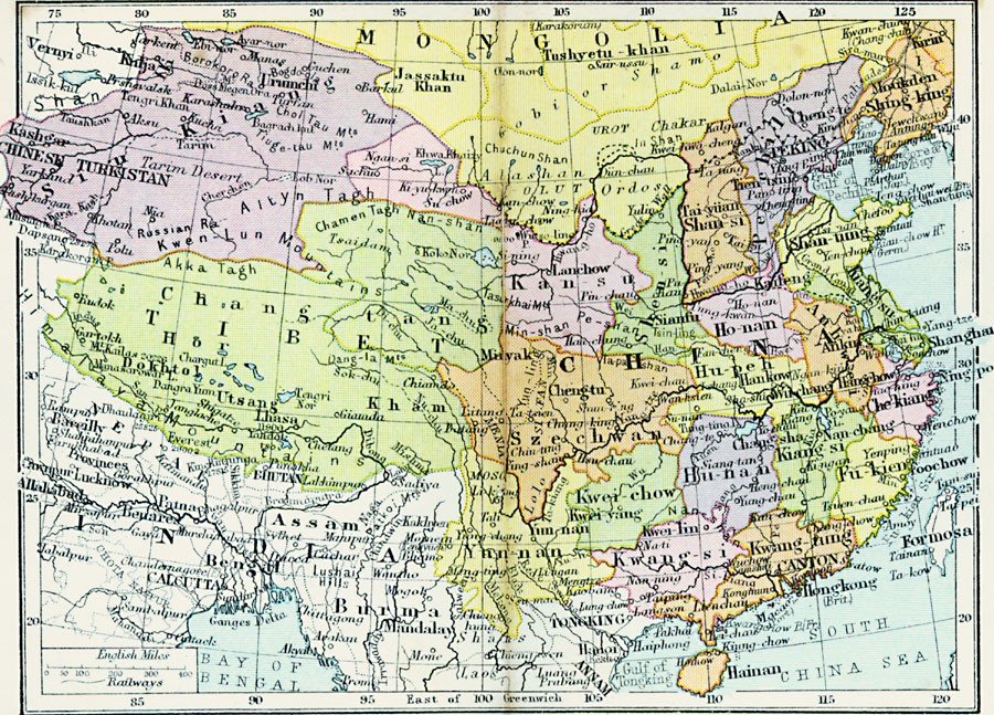
Description: A map from 1920 of southern China (China Proper) showing the province borders at the time, including Tibet and Chinese Turkistan, and the frontiers of Mongolia and Manchuria. The map shows provincial capitals and major cities, railways, the Great Wall and Grand Canal, mountain systems, lakes, rivers, and coastal features of the region.
Place Names: China, Kasgar, �Jassaktu Khan, �Tushyetu-khan, �Kirin, �Moukden, �Peking, �Shan-si, �Lanchow, �Dokhtol, �Utsang, �Kham, �Hankow, �Ankin, �Hangchow, �Canton, �Hongkon
ISO Topic Categories: boundaries,
inlandWaters,
location,
oceans,
transportation
Keywords: China, physical, �political, �transportation, physical features, country borders,
major political subdivisions, railroads, boundaries,
inlandWaters,
location,
oceans,
transportation, Unknown, 1920
Source: , Asprey's Atlas of the World (London, England: Asprey and Co., Ltd., 1920) 92
Map Credit: Courtesy the private collection of Roy Winkelman |
|