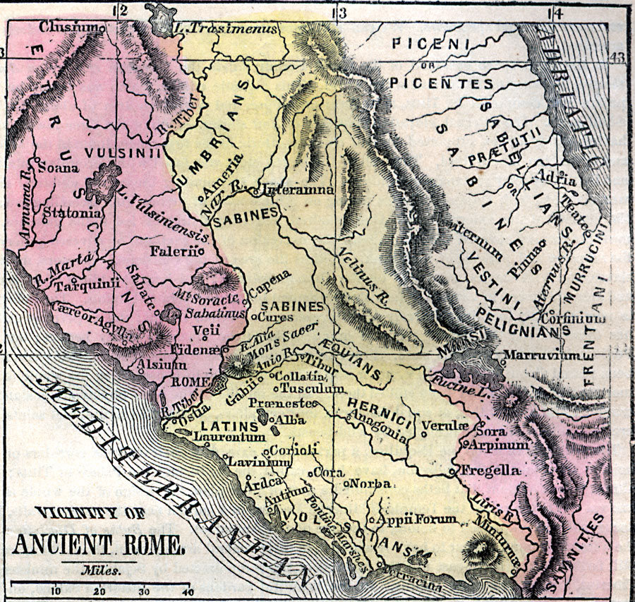
Description: A map showing the vicinity of ancient Rome, including the Tiber River, Mons Sacer, and the territories of the Etruscans, Umbrians, Sabines, Picentes, Pelignians, &Aelig;quians, Latins, Hernici, Frentani, Volscians, and Samnites. The map shows important cities, rivers, lakes, and mountain systems in the area.
Place Names: Italy, Adriatic Sea, �Etruscans, �Latins, �Sabines, �Umbrian
ISO Topic Categories: inlandWaters,
location,
oceans
Keywords: Vicinity of Ancient Rome, historical, kRomanEmpire, country borders, inlandWaters,
location,
oceans, Unknown, Circa 800 B.C.
Source: Marcius Willson, Willson's Outlines of History (New York, NY: Ivison & Phinney, 1859) 583
Map Credit: Courtesy the private collection of Roy Winkelman |
|