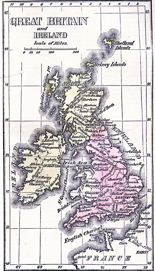
Description: Map of Great Britain and Ireland in 1789 showing rivers and major cities.
Place Names: United Kingdom, Dublin, �Edinburgh, �England, �Great Britain, �Ireland, �Kilkenny, �Londo
ISO Topic Categories: inlandWaters,
location,
oceans
Keywords: Great Britain and Ireland, borders, �historical, country borders,
county borders, historical event, inlandWaters,
location,
oceans, Unknown, 1789
Source: Marcius Willson, Willson's Outlines of History (New York, NY: Ivison & Phinney, 1859) 595
Map Credit: Courtesy the private collection of Roy Winkelman |
|