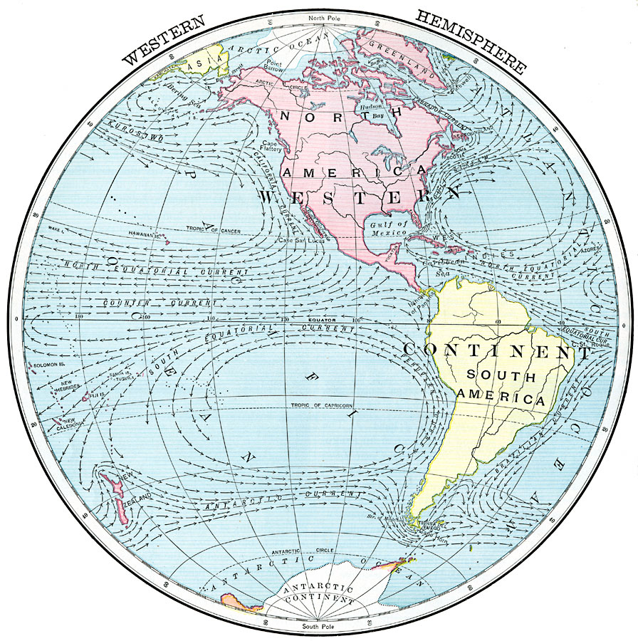
Description: A map of the Western Hemisphere from 1902 showing the American Continent with the grand divisions of North and South America. The map shows the major ocean currents of the Atlantic, Arctic, and Pacific oceans between longitudes 20° west to 160° east.
Place Names: Western Hemisphere, North America, �South Americ
ISO Topic Categories: oceans,
location,
inlandWaters
Keywords: Western Hemisphere, borders, �historical, country borders, oceans,
location,
inlandWaters, Unknown, 1902
Source: H. Justin Roddy, Complete Geography (New York, NY: American Book Company, 1902) 12
Map Credit: Courtesy the private collection of Roy Winkelman |
|