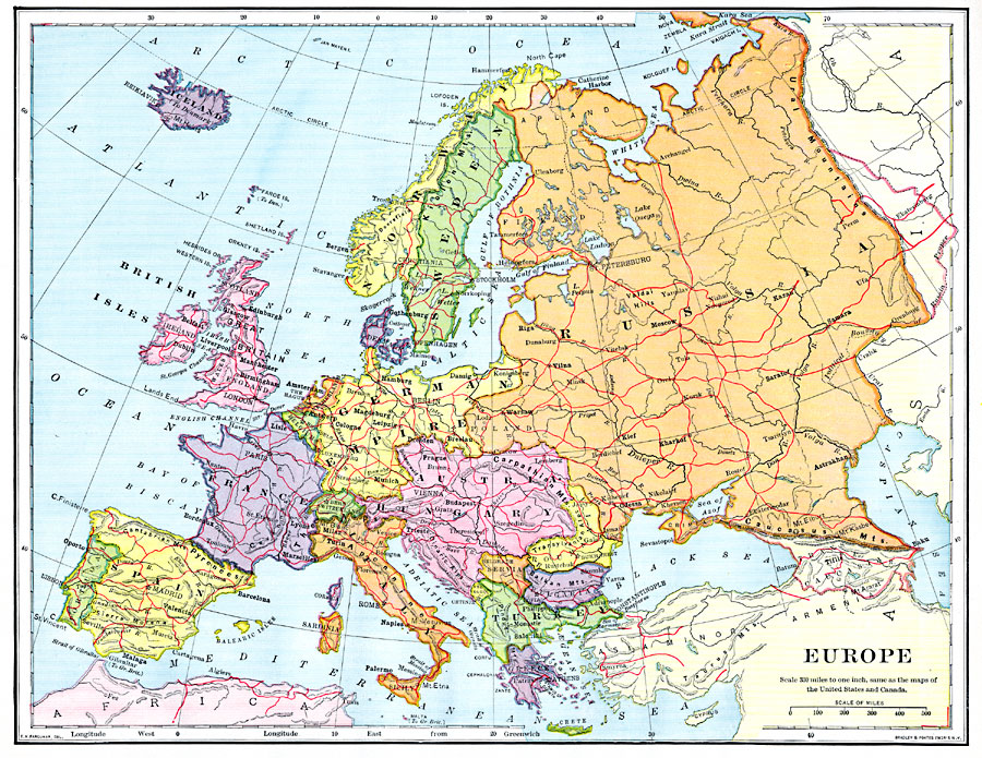
Description: A map showing country boundaries of Europe as they existed in 1900, including major cities, rivers, and railroad routes.
Place Names: A Complete Map of Europe, Africa, �British Isles, �Europe, �France, �Germany, �Hungary, �Iceland, �Italy, �Norway, �Russia, �Spain, �Sweden, �Turkey, �United Kingdom,
ISO Topic Categories: oceans,
location,
inlandWaters
Keywords: Europe, borders, �historical, �transportation, physical features, railroads,
water routes, oceans,
location,
inlandWaters, Unknown, 1902
Source: H. Justin Roddy, Complete Geography (New York, NY: American Book Company, 1902) 94
Map Credit: Courtesy the private collection of Roy Winkelman |
|