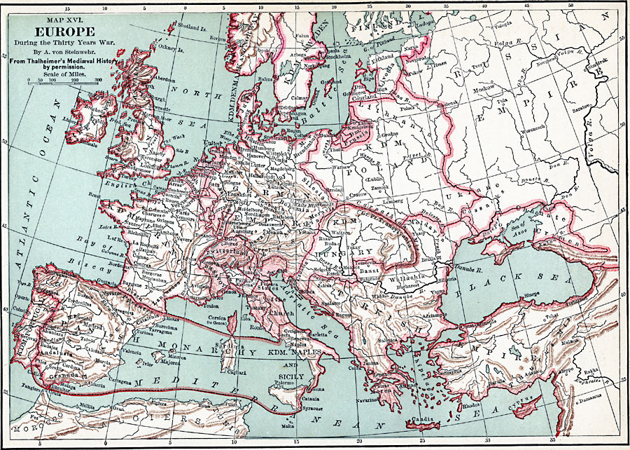
Description: Europe, during the Thirty Years War
Place Names: A Complete Map of Europe, France, �Germany, �Spain, �Sweden, �United Kingdom, �Italy, �Poland, �Portugal, �Russia, �Turkey, �Irelan
ISO Topic Categories: boundaries,
inlandWaters,
location,
oceans
Keywords: Europe, during the Thirty Years War, political, country borders, boundaries,
inlandWaters,
location,
oceans, Unknown, 1618–1648
Source: John Clark Ridpath, L.L. D, Cyclopedia of Universal History (Cincinnati, OH: The Jones Brothers Publishing Co., 1885) 696
Map Credit: Courtesy the private collection of Roy Winkelman |
|