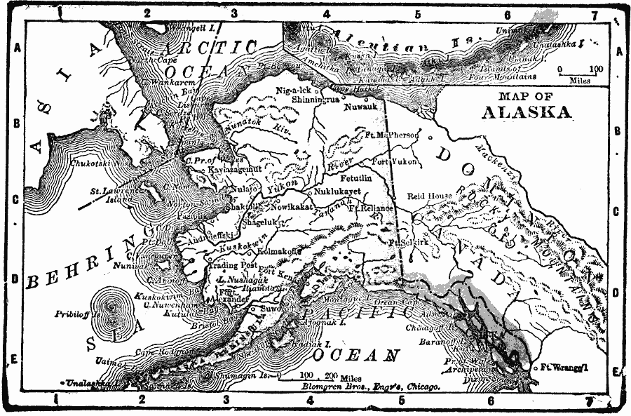
Description: A map of Alaska from 1902 showing cities, towns, ports, major rivers and mountain systems, coastal features, and islands.
Place Names: Alaska, Alaska, �Anchorage, �Juneau, �Cordova, �Fairbanks, �Kenai, �Kodiak, �Nome, �Palmer, �Sitka, �Skagwa
ISO Topic Categories: oceans,
location,
inlandWaters
Keywords: Alaska, borders, �oceans,
location,
inlandWaters, Unknown, 1902
Source: , The New Conklin's Handy Manual of Useful Information and Atlas of the World (Chicago, IL: The Christian Herald, 1902) 359
Map Credit: Courtesy the private collection of Roy Winkelman |
|