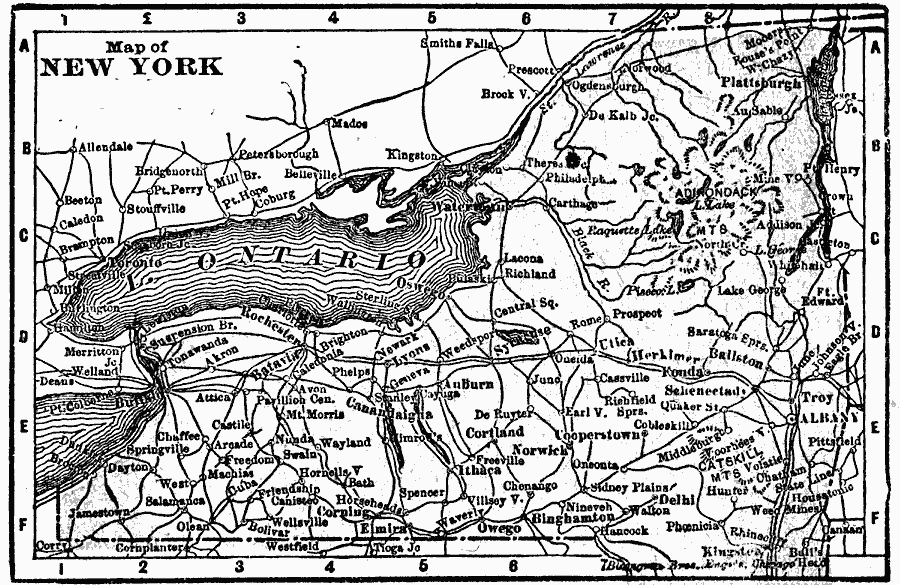
Description: A map from 1902 of upper New York, showing towns, cities, and railroad lines.
Place Names: New York, Albany, �Brooklyn, �Buffalo, �Kingston, �New York City, �Oswego, �Rochester, �Syracuse, �Troy, �Utic
ISO Topic Categories: oceans,
location,
inlandWaters
Keywords: New York, borders, �oceans,
location,
inlandWaters, Unknown, 1902
Source: , The New Conklin's Handy Manual of Useful Information and Atlas of the World (Chicago, IL: The Christian Herald, 1902) 419
Map Credit: Courtesy the private collection of Roy Winkelman |
|