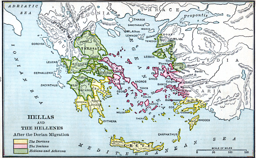
Description: Map showing Hellas and the Hellenes after the Dorian Migration.
Place Names: Regional Miscellaneous, Argolis, �Crete, �Doris, �Greece, �Ionia, �Thessal
ISO Topic Categories: borders, �political, kWorldEurasia, kWorldAfroAsia, kWorldEuroAfrica
Keywords: Hellas and the Hellenes after the Dorian Migration, borders, �political, major political subdivisions, borders, �political, kWorldEurasia, kWorldAfroAsia, kWorldEuroAfrica, Unknown, 1000 BC
Source: William C. Morey, Outlines in Greek History with a survey of Ancient Oriental Nations (New York, NY: The Athenium Press, 1908) 80
Map Credit: Courtesy the private collection of Roy Winkelman |
|