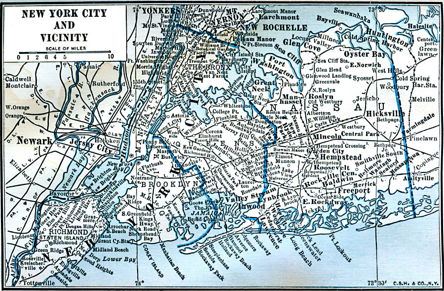
Description: A map from 1922 of New York City and neighboring counties.
Place Names: New York, New York City, �manhattan, �Mt. Vernon, �Yonkers, �New Rochelle, �Nassau, �Brooklyn, �Richmond, �Queens, �Bronx,
ISO Topic Categories: boundaries,
location,
inlandWaters
Keywords: New York City and Vicinity, physical, physical features, boundaries,
location,
inlandWaters, Unknown, 1922
Source: , Putnam's Handy Map Book (New York, NY: G. P. Putnam's Sons, 1922) 257
Map Credit: Courtesy the private collection of Roy Winkelman |
|