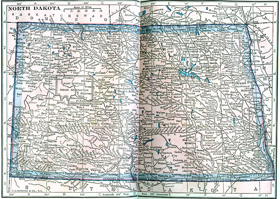
Description: A map from 1922 of North Dakota, showing the capital of Bismarck, principal cities and towns, Indian reservations, railroads, mountains, lakes, and rivers.
Place Names: North Dakota, Grand Forks, �Jamestown, �Valley City, �Wahpeton, �Pembina, �Bismarck, �Casselto
ISO Topic Categories: boundaries,
location,
inlandWaters
Keywords: North Dakota, physical, kNativeAmerican, physical features, boundaries,
location,
inlandWaters, Unknown, 1922
Source: , Putnam's Handy Map Book (New York, NY: G. P. Putnam's Sons, 1922) 256-267
Map Credit: Courtesy the private collection of Roy Winkelman |
|