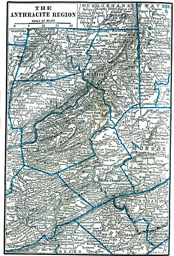
Description: A map from 1922 of the anthracite region in northeast Pennsylvania in the vicinity of Scranton and Allentown, showing county lines, principal cities and towns, railroads, terrain features, lakes, and rivers.
Place Names: Pennsylvania, Scranton, �Wilkes-Barre, �Hazelton, �Pottsville, �Allentown,
ISO Topic Categories: boundaries,
location,
inlandWaters
Keywords: Anthracite Region, physical, physical features, boundaries,
location,
inlandWaters, Unknown, 1922
Source: , Putnam's Handy Map Book (New York, NY: G. P. Putnam's Sons, 1922) 286
Map Credit: Courtesy the private collection of Roy Winkelman |
|